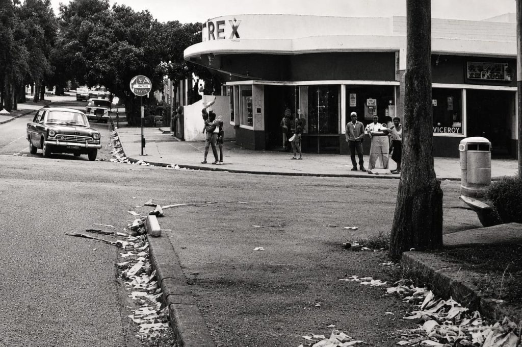
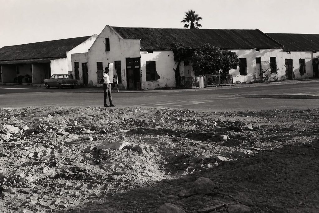
Mapping Die Vlakte is a digital memorial and public history project dedicated to preserving, documenting, and sharing the history of Die Vlakte, a once vibrant community in the heart of Stellenbosch that was destroyed through apartheid’s forced removals.
For generations, Die Vlakte was home to thousands of people who lived, worked, worshipped, learned, and built lasting relationships within a close-knit community. On 25 September 1964, the area was declared a white group area under the Group Areas Act. Beginning in 1969, 757 families were forcibly removed from their homes and relocated primarily to Ida’s Valley, Cloetesville, and Kayamandi. Although the buildings disappeared, the memories, relationships, and sense of belonging associated with Die Vlakte have endured across generations.
The idea for Mapping Die Vlakte emerged through the work of Dr Siddique Motala, a Geographic Information Systems (GIS) specialist and researcher at the University of Cape Town’s Global Digital Heritage Africa research group. Working in collaboration with the Stellenbosch Vlakte Community Forum, Dr Motala introduced the methodology of counter-surveying, an approach that combines historical maps, surveying techniques, digital technologies, and the memories of former residents to identify and reconstruct places that no longer exist. Rather than simply locating buildings, counter-surveying restores the stories, relationships, and lived experiences connected to those spaces.
Former residents played a central role in this process. Guided by archival maps and their own memories, they identified the locations of former homes, places of worship, schools, businesses, and community landmarks. Through these collaborative efforts, places that apartheid attempted to erase have once again become visible, creating a spatial archive that reconnects memory with place.
This website builds upon that work by bringing together historical research, oral histories, photographs, archival material, and digital mapping. It is intended not only as a record of the past but also as a resource for descendants, researchers, educators, students, and the wider public. By reconnecting people to places and stories, Mapping Die Vlakte contributes to memorialisation, historical justice, and reparative recognition, ensuring that the history of Die Vlakte remains visible for future generations.